

Île-de-France · France
ParisMap Print
48.8601° N — 2.3444° E
A minimalist Paris map print in three colorways — an instant digital download for your wall. La Seine draws its long shallow curve through the middle and the Boulevard Périphérique closes a near-perfect ring around everything. The Bois de Boulogne and the Bois de Vincennes hang off either end, the Canal de l'Ourcq runs northeast out of the Bassin de la Villette, and the Champ de Mars, Parc des Buttes-Chaumont and Cimetière du Père-Lachaise punctuate the blocks between. Drawn quiet and clear.
The colorways
One city, three moods


All three come with every purchase — the same Paris fits a bright hallway or a moody study, and you can change your mind later.
The details
This print, exactly
- Coverage
- 11.0 km (6.8 mi) across, east to west
- Centred on
- 48.8601° N — 2.3444° E
- Place
- Île-de-France · France
- Colorways
- Paper, Dark, Bright — all three included
- Print sizes
- five ratios, each at its largest print size · up to 24×36 in / 60×90 cm
- Files
- 300 DPI PDF, PNG and JPG
- Price
- $5.73
$8.19— instant download, nothing ships - Map data
- OpenStreetMap · © OpenStreetMap contributors
Print sizes
All included
- 12×18 · 16×24 · 24×36 in 30×45 · 40×60 · 50×75 cm
- 9×12 · 18×24 · 24×32 in 30×40 · 45×60 · 60×80 cm
- 8×10 · 16×20 · 24×30 in 20×25 · 40×50 · 60×75 cm
- A4 · A3 · A2 · A1 21×30 → 59×84 cm · fits IKEA / A-size frames
- 11×14 · 22×28 in 28×36 · 56×71 cm
Every purchase contains all three colorways in all five sizes, as 300 DPI PDF, PNG, and JPG — an instant digital download on Etsy. Nothing ships; you print it your way.
In the room
On the wall


Keep exploring
More cities
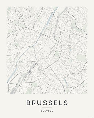
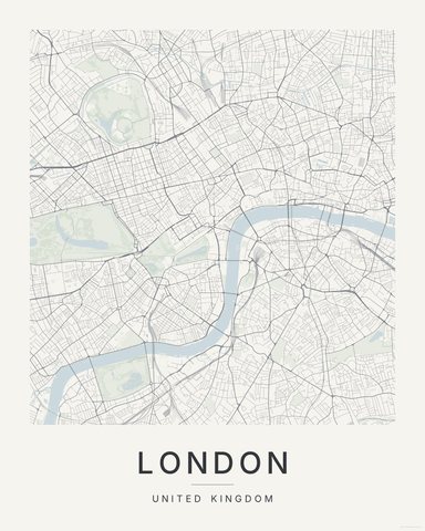
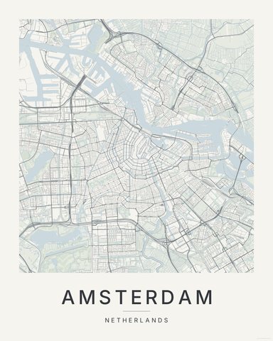
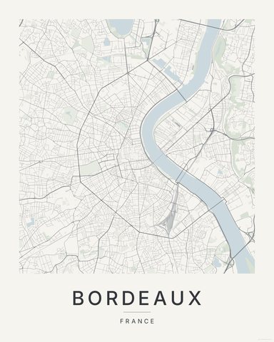
Three colorways · five sizes
Take Paris home
Instant digital download — nothing ships, no frame included.