

Pirkanmaa · Finland
TampereMap Print
61.4848° N — 23.7705° E
A minimalist Tampere map print in three colorways — an instant digital download for your wall. The city sits on the narrow neck between two lakes, Näsijärvi above and Pyhäjärvi below, with Tammerkoski falling between them straight through the center. Hatanpään valtatie runs south down the isthmus, Kalevantie and Teiskontie head east, and Paasikivenkatu follows the upper shore. Pyynikki holds its ridge of pine to the west, with Iidesjärvi quiet in the east. Drawn quiet and clear.
The colorways
One city, three moods


All three come with every purchase — the same Tampere fits a bright hallway or a moody study, and you can change your mind later.
The details
This print, exactly
- Coverage
- 5.6 km (3.5 mi) across, east to west
- Centred on
- 61.4848° N — 23.7705° E
- Place
- Pirkanmaa · Finland
- Colorways
- Paper, Dark, Bright — all three included
- Print sizes
- five ratios, each at its largest print size · up to 24×36 in / 60×90 cm
- Files
- 300 DPI PDF, PNG and JPG
- Price
- $5.73
$8.19— instant download, nothing ships - Map data
- OpenStreetMap · © OpenStreetMap contributors
Print sizes
All included
- 12×18 · 16×24 · 24×36 in 30×45 · 40×60 · 50×75 cm
- 9×12 · 18×24 · 24×32 in 30×40 · 45×60 · 60×80 cm
- 8×10 · 16×20 · 24×30 in 20×25 · 40×50 · 60×75 cm
- A4 · A3 · A2 · A1 21×30 → 59×84 cm · fits IKEA / A-size frames
- 11×14 · 22×28 in 28×36 · 56×71 cm
Every purchase contains all three colorways in all five sizes, as 300 DPI PDF, PNG, and JPG — an instant digital download on Etsy. Nothing ships; you print it your way.
Keep exploring
More from the Nordics
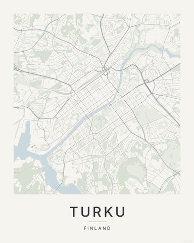
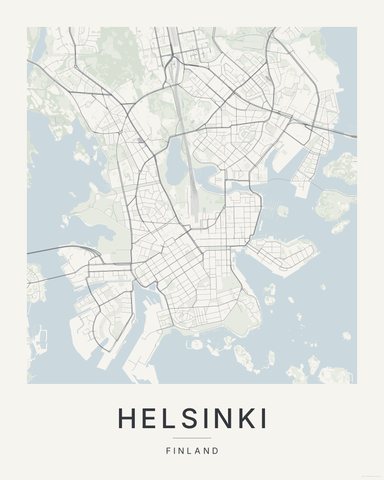
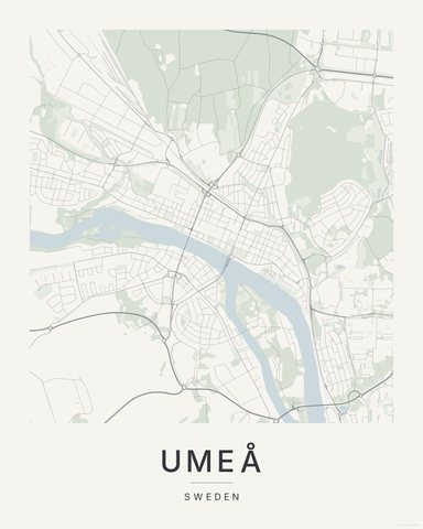

Three colorways · five sizes
Take Tampere home
Instant digital download — nothing ships, no frame included.