

North Carolina · United States
Chapel HillStreet Map Print
35.9100° N — 79.0510° W
A Chapel Hill street map print in three colorways — an instant digital download of the North Carolina college town written out street by street. East Franklin Street and East Rosemary Street run the width of it, South Columbia Street and McCauley Street cross below, and Gimghoul Road slips east toward the woods. McCorkle Place and Coker Arboretum sit inside the University of North Carolina, with Battle Park beyond. Every street the sheet has room for carries its own name, set along the road it belongs to.
The colorways
One city, three moods
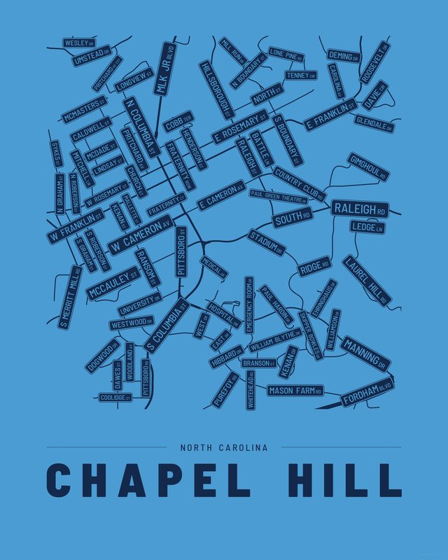
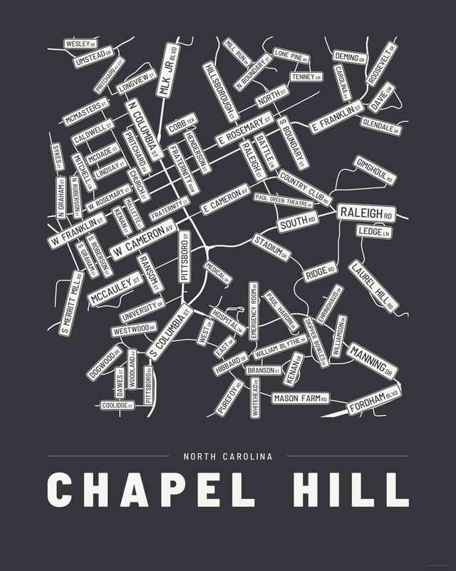
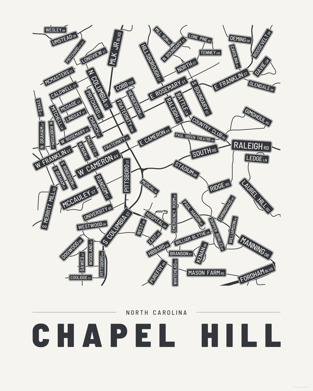
All three come with every purchase — the same Chapel Hill fits a bright hallway or a moody study, and you can change your mind later.
The details
This print, exactly
- Coverage
- 2.8 km (1.7 mi) across, east to west
- Centred on
- 35.9100° N — 79.0510° W
- Place
- North Carolina · United States
- Colorways
- Accent, Ink, Paper — all three included
- Print sizes
- five ratios, each at its largest print size · up to 24×36 in / 60×90 cm
- Files
- vector PDF and 300 DPI PNG
- Price
- $6.29
$8.99— instant download, nothing ships - Map data
- OpenStreetMap · © OpenStreetMap contributors
83 streets are named on the sheet: Battle Lane, Branson Street, Caldwell Street, Carolina Avenue, Church Street, Cobb Terrace, Coolidge Street, Country Club Road, Davie Circle, Dawes Street, Deming Drive, Dogwood Drive, East Cameron Avenue, East Drive, East Franklin Street, East Longview Street, East Rosemary Street, Ehringhaus Drive, Emergency Room Drive, Fordham Boulevard South, Fraternity Court, Gimghoul Road, Glendale Drive, Henderson Street, Hibbard Drive, Hillsborough Street, Hospital Drive, Kenan Drive, Kenan Street, Laurel Hill Road, Ledge Lane, Lindsay Street, Lone Pine Road, Mallette Street, Manning Drive, Martin Luther King Junior Boulevard, Mason Farm Road, McCauley Street, McDade Street, McMasters Street, Mill Run Drive, Mitchell Lane, North Boundary Street, North Columbia Street, North Graham Street, North Medical Drive, North Roberson Street, North Street, Old Fraternity Row, Old Pittsboro Road, Paul Green Theatre Drive, Paul Hardin Drive, Pittsboro Street, Pritchard Avenue, Pritchard Avenue Extension, Purefoy Road, Raleigh Road, Raleigh Street, Ransom Street, Ridge Road, Roosevelt Drive, Skipper Bowles Drive, South Boundary Street, South Columbia Street, South Graham Street, South Merritt Mill Road, South Road, South Roberson Street, Stadium Drive, Sykes Street, Tenney Circle, Umstead Drive, Wesley Drive, West Cameron Avenue, West Drive, West Franklin Street, West Rosemary Street, West University Drive, Westwood Drive, Whitehead Road, William Blythe Drive, Williamson Drive, Woodland Avenue.
Print sizes
All included
- 12×18 · 16×24 · 24×36 in 30×45 · 40×60 · 50×75 cm
- 9×12 · 18×24 · 24×32 in 30×40 · 45×60 · 60×80 cm
- 8×10 · 16×20 · 24×30 in 20×25 · 40×50 · 60×75 cm
- A4 · A3 · A2 · A1 21×30 → 59×84 cm · fits IKEA / A-size frames
- 11×14 · 22×28 in 28×36 · 56×71 cm
Every purchase contains all three colorways in all five sizes, as vector PDF and 300 DPI PNG — an instant digital download on Etsy. The PDF is drawn, not rasterised, so it prints crisp at any size. Nothing ships; you print it your way.
The other edition
Also drawn as a map
The same city drawn as a quiet minimalist map, in three colorways.
Keep exploring
More cities
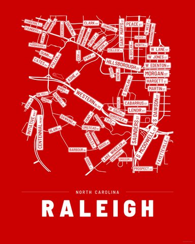
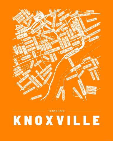
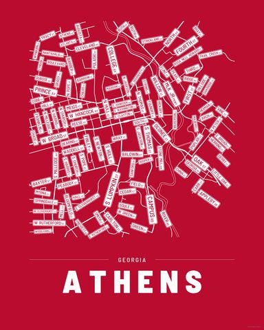
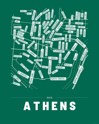
Three colorways · five sizes
Take Chapel Hill home
Instant digital download — nothing ships, no frame included.