

North Carolina · United States
RaleighStreet Map Print
35.7761° N — 78.6566° W
A Raleigh street map print in three colorways — an instant digital download of the North Carolina college town written out street by street. Hillsborough Street runs the length of it with Western Boulevard parallel below, and NC State fills the blocks between them. Rocky Branch threads along the campus edge, Pullen Road and Centennial Parkway cross south, and Pullen Park and Dorothea Dix Park hold their green either side. Every street the sheet has room for carries its own name, set along the road it belongs to.
The colorways
One city, three moods
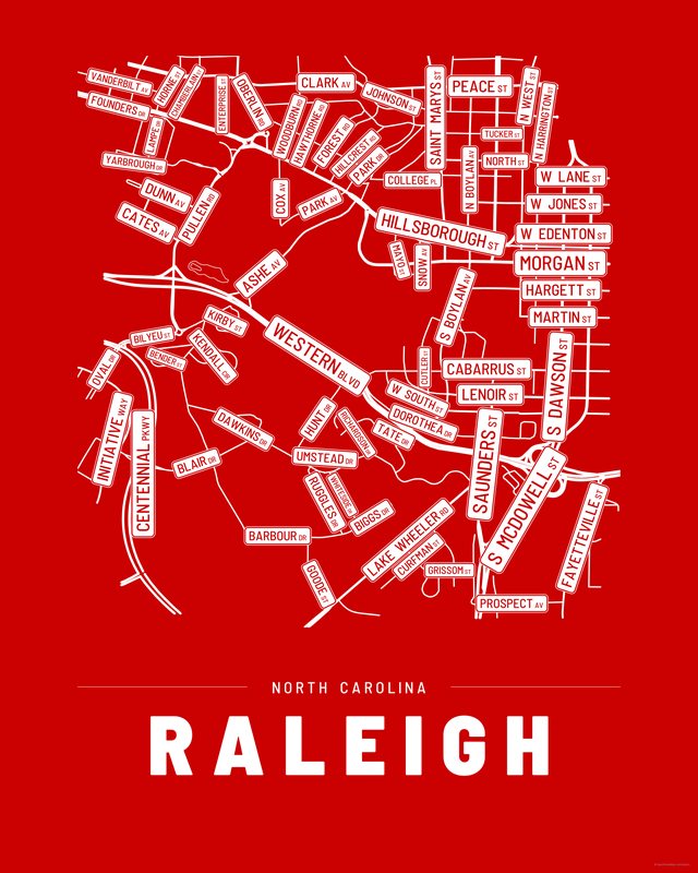
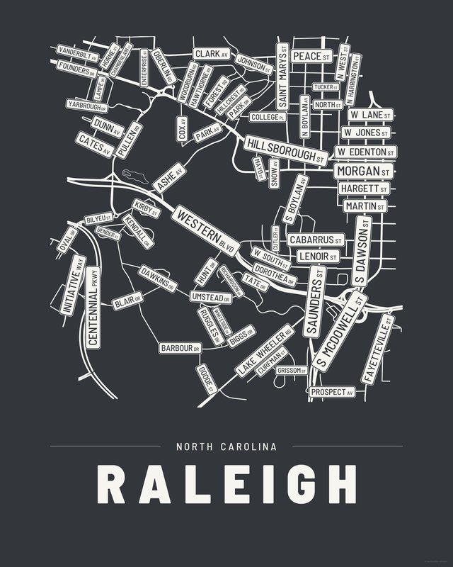
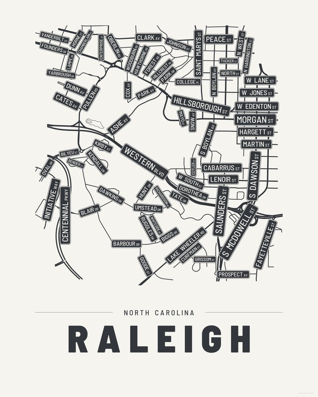
All three come with every purchase — the same Raleigh fits a bright hallway or a moody study, and you can change your mind later.
The details
This print, exactly
- Coverage
- 3.0 km (1.9 mi) across, east to west
- Centred on
- 35.7761° N — 78.6566° W
- Place
- North Carolina · United States
- Colorways
- Accent, Ink, Paper — all three included
- Print sizes
- five ratios, each at its largest print size · up to 24×36 in / 60×90 cm
- Files
- vector PDF and 300 DPI PNG
- Price
- $6.29
$8.99— instant download, nothing ships - Map data
- OpenStreetMap · © OpenStreetMap contributors
71 streets are named on the sheet: Ashe Avenue, Barbour Drive, Bender Street, Biggs Drive, Bilyeu Street, Blair Drive, Cates Avenue, Centennial Parkway, Chamberlain Street, Clark Avenue, College Place, Cox Avenue, Curfman Street, Cutler Street, Dawkins Drive, Dorothea Drive, Dunn Avenue, Enterprise Street, Fayetteville Street, Forest Road, Founders Drive, Goode Street, Grissom Street, Hawthorne Road, Hillcrest Road, Hillsborough Street, Horne Street, Hunt Drive, Initiative Way, Kendall Circle, Kirby Street, Lake Wheeler Road, Lampe Drive, Mayo Street, North Boylan Avenue, North Harrington Street, North West Street, Oberlin Road, Oval Drive, Park Avenue, Park Drive West, Prospect Avenue, Pullen Road, Richardson Drive, Ruggles Drive, Saint Marys Street, Snow Avenue, South Boylan Avenue, South Dawson Street, South McDowell Street, South Saunders Street, Tate Drive, Tucker Street, Umstead Drive, Vanderbilt Avenue, West Cabarrus Street, West Edenton Street, West Hargett Street, West Johnson Street, West Jones Street, West Lane Street, West Lenoir Street, West Martin Street, West Morgan Street, West North Street, West Peace Street, West South Street, Western Boulevard, Whiteside Drive, Woodburn Road, Yarbrough Drive.
Print sizes
All included
- 12×18 · 16×24 · 24×36 in 30×45 · 40×60 · 50×75 cm
- 9×12 · 18×24 · 24×32 in 30×40 · 45×60 · 60×80 cm
- 8×10 · 16×20 · 24×30 in 20×25 · 40×50 · 60×75 cm
- A4 · A3 · A2 · A1 21×30 → 59×84 cm · fits IKEA / A-size frames
- 11×14 · 22×28 in 28×36 · 56×71 cm
Every purchase contains all three colorways in all five sizes, as vector PDF and 300 DPI PNG — an instant digital download on Etsy. The PDF is drawn, not rasterised, so it prints crisp at any size. Nothing ships; you print it your way.
Keep exploring
More cities
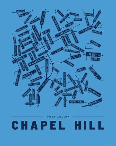
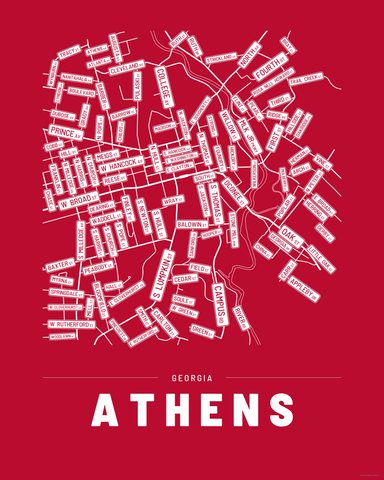
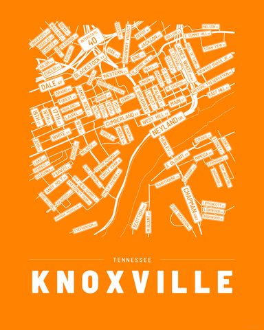
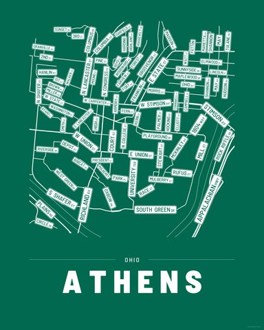
Three colorways · five sizes
Take Raleigh home
Instant digital download — nothing ships, no frame included.