

Alabama · United States
AuburnStreet Map Print
32.6048° N — 85.4828° W
An Auburn street map print in three colorways — an instant digital download of the Alabama college town written out street by street. South College Street and South Gay Street run the length of it, West Samford Avenue crosses below Auburn University, and Shug Jordan Parkway loops the western edge. Parkerson Mill Creek threads through the campus, with Campus Forest and the Davis Arboretum in among the blocks. Every street the sheet has room for carries its own name, set along the road it belongs to.
The colorways
One city, three moods
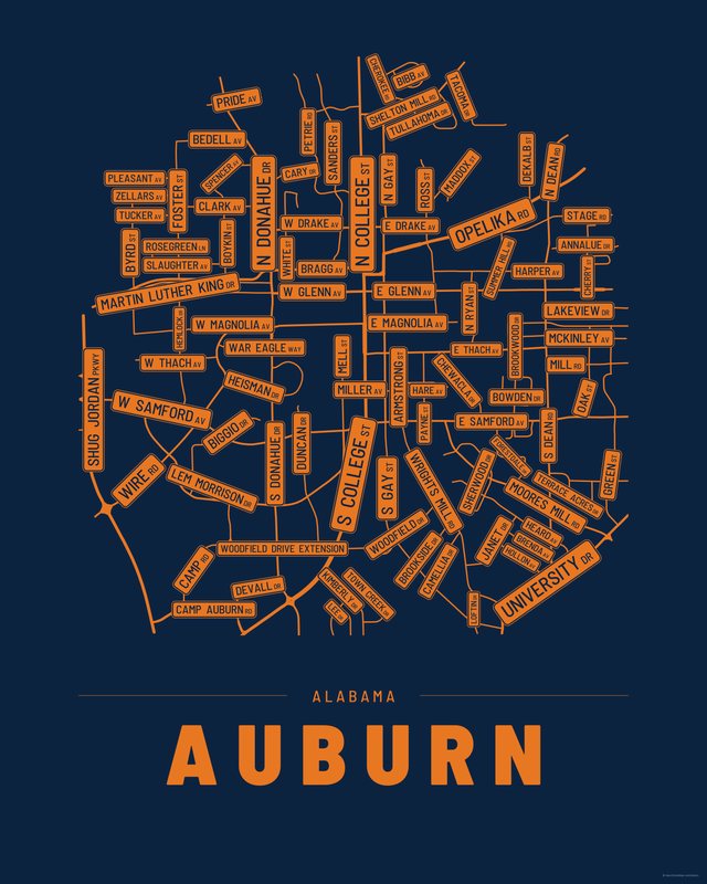
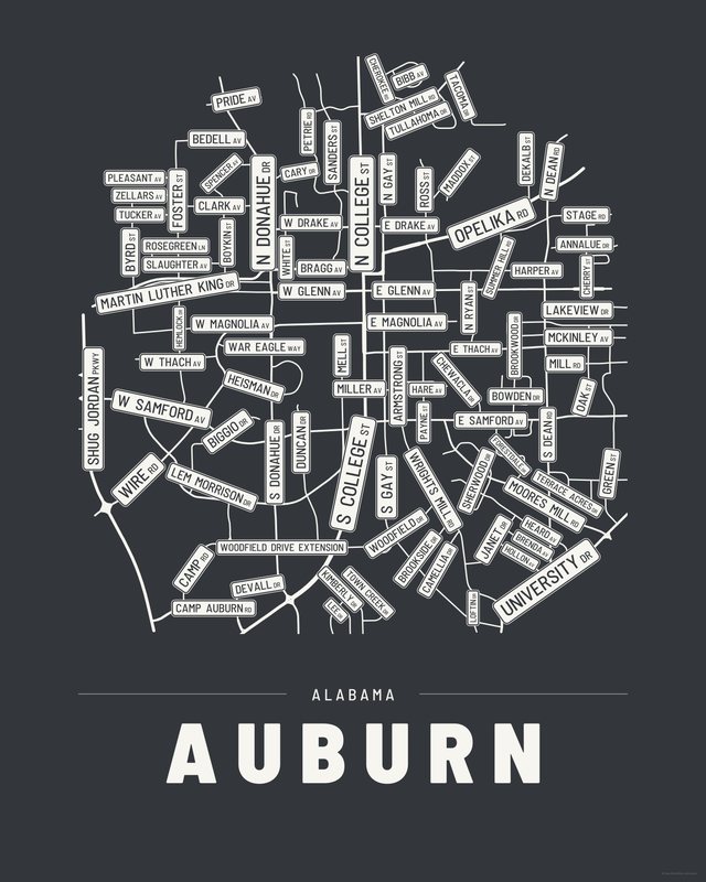
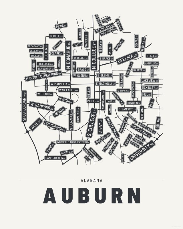
All three come with every purchase — the same Auburn fits a bright hallway or a moody study, and you can change your mind later.
The details
This print, exactly
- Coverage
- 4.8 km (3.0 mi) across, east to west
- Centred on
- 32.6048° N — 85.4828° W
- Place
- Alabama · United States
- Colorways
- Accent, Ink, Paper — all three included
- Print sizes
- five ratios, each at its largest print size · up to 24×36 in / 60×90 cm
- Files
- vector PDF and 300 DPI PNG
- Price
- $6.29
$8.99— instant download, nothing ships - Map data
- OpenStreetMap · © OpenStreetMap contributors
93 streets are named on the sheet: Annalue Drive, Armstrong Street, Bedell Avenue, Bibb Avenue, Biggio Drive, Bowden Drive, Boykin Street, Bragg Avenue, Brenda Avenue, Brookside Drive, Byrd Street, Camellia Drive, Camp Auburn Road, Cary Drive, Cherokee Road, Cherry Street, Chewacla Drive, Clark Avenue, Dekalb Street, Devall Drive, Duncan Drive, East Drake Avenue, East Glenn Avenue, East Magnolia Avenue, East Samford Avenue, East Thach Avenue, East University Drive, Forestdale Drive, Foster Street, Green Street, Hare Avenue, Harper Avenue, Heard Avenue, Heisman Drive, Hemlock Drive, Hollon Avenue, Janet Drive, Kimberly Drive, Lakeview Drive, Lee Drive, Lem Morrison Drive, Loftin Drive, Maddox Street, Martin Luther King Drive, Mc Kinley Avenue, Mell Street, Miller Avenue, Moores Mill Road, North College Street, North Dean Road, North Donahue Drive, North Gay Street, North Ross Street, North Ryan Street, Oak Street, Old Camp Road, Old Mill Road, Old Stage Road, Opelika Road, Payne Street, Petrie Road, Pleasant Avenue, Pride Avenue, Rosegreen Lane, Sanders Street, Shelton Mill Road, Sherwood Drive, Shug Jordan Parkway, Slaughter Avenue, South Brookwood Drive, South College Street, South Dean Road, South Donahue Drive, South Gay Street, Spencer Avenue, Summer Hill Road, Tacoma Drive, Terrace Acres Drive, Town Creek Drive, Tucker Avenue, Tullahoma Drive, War Eagle Way, West Drake Avenue, West Glenn Avenue, West Magnolia Avenue, West Samford Avenue, West Thach Avenue, White Street, Wire Road, Woodfield Drive, Woodfield Drive Extension, Wrights Mill Road, Zellars Avenue.
Print sizes
All included
- 12×18 · 16×24 · 24×36 in 30×45 · 40×60 · 50×75 cm
- 9×12 · 18×24 · 24×32 in 30×40 · 45×60 · 60×80 cm
- 8×10 · 16×20 · 24×30 in 20×25 · 40×50 · 60×75 cm
- A4 · A3 · A2 · A1 21×30 → 59×84 cm · fits IKEA / A-size frames
- 11×14 · 22×28 in 28×36 · 56×71 cm
Every purchase contains all three colorways in all five sizes, as vector PDF and 300 DPI PNG — an instant digital download on Etsy. The PDF is drawn, not rasterised, so it prints crisp at any size. Nothing ships; you print it your way.
Keep exploring
More cities


Three colorways · five sizes
Take Auburn home
Instant digital download — nothing ships, no frame included.