

Indiana · United States
BloomingtonStreet Map Print
39.1641° N — 86.5178° W
A Bloomington street map print in three colorways — an instant digital download of the Indiana college town written out street by street. East 3rd Street and East 10th Street run the width of it, South Walnut Street and South Rogers Street the length, and the numbered blocks around Indiana University name themselves in order. Clear Creek and Jackson Creek thread through the south, past Bryan Park and Switchyard Park. Every street the sheet has room for carries its own name, set along the road it belongs to.
The colorways
One city, three moods
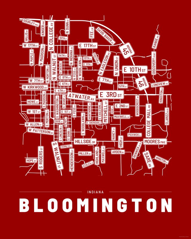
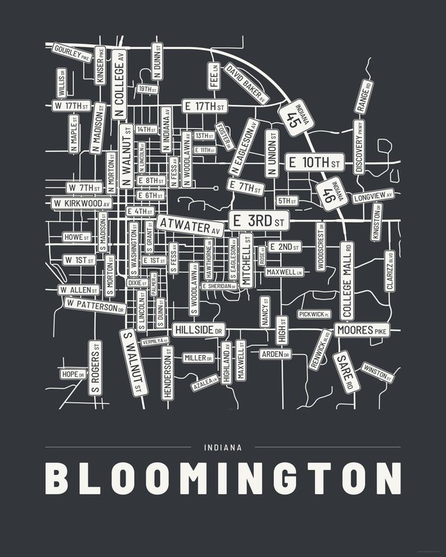
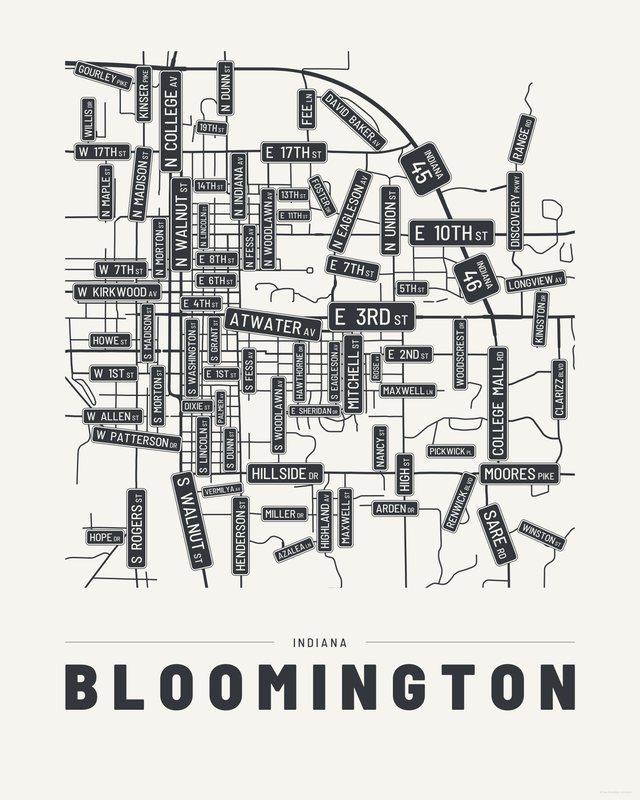
All three come with every purchase — the same Bloomington fits a bright hallway or a moody study, and you can change your mind later.
The details
This print, exactly
- Coverage
- 5.0 km (3.1 mi) across, east to west
- Centred on
- 39.1641° N — 86.5178° W
- Place
- Indiana · United States
- Colorways
- Accent, Ink, Paper — all three included
- Print sizes
- five ratios, each at its largest print size · up to 24×36 in / 60×90 cm
- Files
- vector PDF and 300 DPI PNG
- Price
- $6.29
$8.99— instant download, nothing ships - Map data
- OpenStreetMap · © OpenStreetMap contributors
83 streets are named on the sheet: East 10th Street, East 11th Street, East 13th Street, East 14th Street, East 17th Street, East 19th Street, East 1st Street, East 2nd Street, East 3rd Street, East 4th Street, East 5th Street, East 6th Street, East 7th Street, East 8th Street, East Arden Drive, East Atwater Avenue, East Azalea Lane, East Discovery Parkway, East Dixie Street, East Hillside Drive, East Longview Avenue, East Maxwell Lane, East Miller Drive, East Moores Pike, East Sheridan Drive, East Vermilya Avenue, East Winston Street, North College Avenue, North David Baker Avenue, North Dunn Street, North Eagleson Avenue, North Fee Lane, North Fess Avenue, North Foster Drive, North Indiana Avenue, North Kinser Pike, North Lincoln Street, North Madison Street, North Maple Street, North Morton Street, North Range Road, North State Road 45 46 Bypass, North Union Street, North Walnut Street, North Willis Drive, North Woodlawn Avenue, SR 46, South Clarizz Boulevard, South College Mall Road, South Dunn Street, South Eagleson Avenue, South Fess Avenue, South Grant Street, South Hawthorne Drive, South Henderson Street, South High Street, South Highland Avenue, South Hope Drive, South Kingston Drive, South Lincoln Street, South Madison Street, South Maxwell Street, South Mitchell Street, South Morton Street, South Nancy Street, South Palmer Avenue, South Pickwick Place, South Renwick Boulevard, South Rogers Street, South Rose Avenue, South Sare Road, South Walnut Street, South Washington Street, South Woodlawn Avenue, South Woodscrest Drive, West 17th Street, West 1st Street, West 7th Street, West Allen Street, West Gourley Pike, West Howe Street, West Kirkwood Avenue, West Patterson Drive.
Print sizes
All included
- 12×18 · 16×24 · 24×36 in 30×45 · 40×60 · 50×75 cm
- 9×12 · 18×24 · 24×32 in 30×40 · 45×60 · 60×80 cm
- 8×10 · 16×20 · 24×30 in 20×25 · 40×50 · 60×75 cm
- A4 · A3 · A2 · A1 21×30 → 59×84 cm · fits IKEA / A-size frames
- 11×14 · 22×28 in 28×36 · 56×71 cm
Every purchase contains all three colorways in all five sizes, as vector PDF and 300 DPI PNG — an instant digital download on Etsy. The PDF is drawn, not rasterised, so it prints crisp at any size. Nothing ships; you print it your way.
The other edition
Also drawn as a map
The same city drawn as a quiet minimalist map, in three colorways.
Keep exploring
More cities
Three colorways · five sizes
Take Bloomington home
Instant digital download — nothing ships, no frame included.