

Ohio · United States
ColumbusStreet Map Print
40.0010° N — 83.0100° W
A Columbus street map print in three colorways — an instant digital download of the Ohio college town written out street by street. North High Street runs the eastern edge, Neil Avenue and Cannon Drive the western, and West Lane Avenue crosses the top of Ohio State University. The Olentangy River bends along one side, Mirror Lake and The Oval sit at the middle of the campus, and Indianola Avenue names the blocks beyond. Every street the sheet has room for carries its own name, set along the road it belongs to.
The colorways
One city, three moods
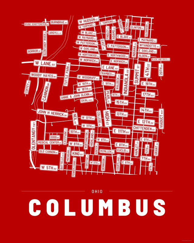
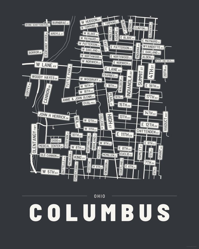

All three come with every purchase — the same Columbus fits a bright hallway or a moody study, and you can change your mind later.
The details
This print, exactly
- Coverage
- 3.0 km (1.9 mi) across, east to west
- Centred on
- 40.0010° N — 83.0100° W
- Place
- Ohio · United States
- Colorways
- Accent, Ink, Paper — all three included
- Print sizes
- five ratios, each at its largest print size · up to 24×36 in / 60×90 cm
- Files
- vector PDF and 300 DPI PNG
- Price
- $6.29
$8.99— instant download, nothing ships - Map data
- OpenStreetMap · © OpenStreetMap contributors
96 streets are named on the sheet: Adams Avenue, Alden Avenue, Annie & John Glenn Avenue, Argyll Street, Battelle Boulevard, Black and Gold Boulevard, Borror Drive, Burnbrae Avenue, Cannon Drive, Chittenden Avenue, Clinton Street, Coffey Road, College Road, Courtland Avenue, Deming Avenue, Dennison Avenue, Dodd Drive, East 11th Avenue, East 12th Avenue, East 13th Avenue, East 14th Avenue, East 15th Avenue, East 16th Avenue, East 17th Avenue, East 18th Avenue, East 19th Avenue, East 20th Avenue, East 6th Avenue, East 7th Avenue, East 8th Avenue, East 9th Avenue, East Avenue, East Blake Avenue, East Lane Avenue, East Maynard Avenue, East Northwood Avenue, East Norwich Avenue, East Oakland Avenue, East Patterson Avenue, East Tompkins Street, Eastpark Street, Euclid Avenue, Findley Avenue, Forsythe Avenue, Frambes Avenue, Glenmawr Avenue, Hamlet Street, Highland Street, Hunter Avenue, Indiana Avenue, Indianola Avenue, Irving Schottenstein Drive, John H Herrick Drive, King Avenue, McMillen Avenue, Medary Avenue, Medical Center Drive, Michigan Avenue, Neil Avenue, North 4th Street, North 5th Street, North 6th Street, North Grant Avenue, North High Street, North Oval Mall, North Pearl Street, Old Cannon Drive, Olentangy Freeway, Olentangy River Road, Pennsylvania Avenue, Summit Street, Tuttle Park Place, Viaduct Way, Waldeck Avenue, West 10th Avenue, West 11th Avenue, West 12th Avenue, West 18th Avenue, West 19th Avenue, West 5th Avenue, West 6th Avenue, West 8th Avenue, West 9th Avenue, West Blake Avenue, West Hudson Street, West Lane Avenue, West Maynard Avenue, West Northwood Avenue, West Norwich Avenue, West Oakland Avenue, West Patterson Avenue, West Tompkins Street, West Woodruff Avenue, Woody Hayes Drive, Worthington Street, Wyandotte Avenue.
Print sizes
All included
- 12×18 · 16×24 · 24×36 in 30×45 · 40×60 · 50×75 cm
- 9×12 · 18×24 · 24×32 in 30×40 · 45×60 · 60×80 cm
- 8×10 · 16×20 · 24×30 in 20×25 · 40×50 · 60×75 cm
- A4 · A3 · A2 · A1 21×30 → 59×84 cm · fits IKEA / A-size frames
- 11×14 · 22×28 in 28×36 · 56×71 cm
Every purchase contains all three colorways in all five sizes, as vector PDF and 300 DPI PNG — an instant digital download on Etsy. The PDF is drawn, not rasterised, so it prints crisp at any size. Nothing ships; you print it your way.
The other edition
Also drawn as a map
The same city drawn as a quiet minimalist map, in three colorways.
Keep exploring
More cities
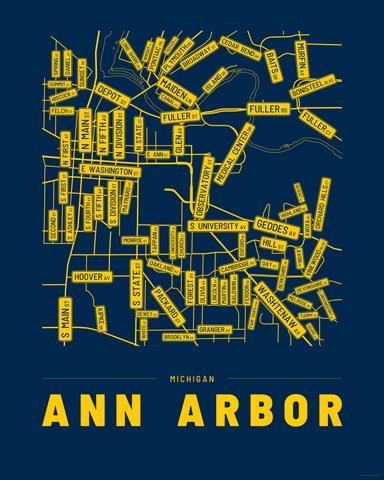
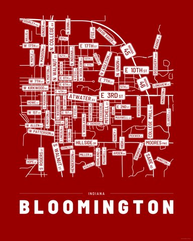
Three colorways · five sizes
Take Columbus home
Instant digital download — nothing ships, no frame included.